
OSM Dashboard for OpenTracks
OpenTracks dashboard with OpenStreetMap.
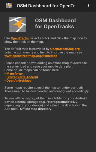
Description
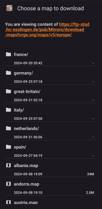
OpenTracks' dashboard uses OpenStreetMap to display your GPS tracks and locations. View routes with start/end points online or offline—saving mobile data. Help improve maps by joining the community. Download offline maps via the menu or external links from Mapsforge, Freizeitkarte, or OpenAndroMaps (some need special themes).
Screenshots
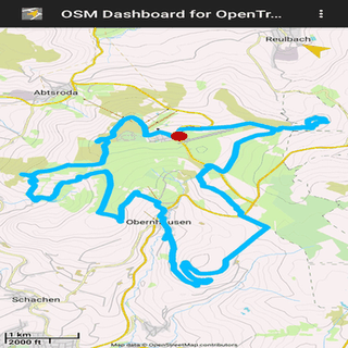
Click to view full size
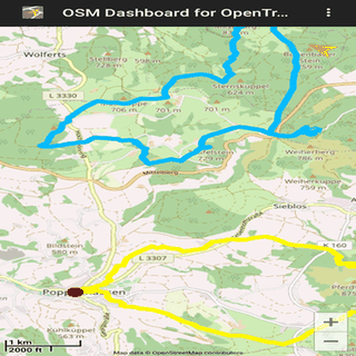
Click to view full size
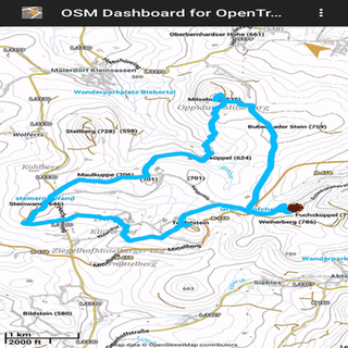
Click to view full size
Click to view full size
Click to view full size
Click to view full size