
OpenJUMP
Create edit and manage geographic information systems
Description
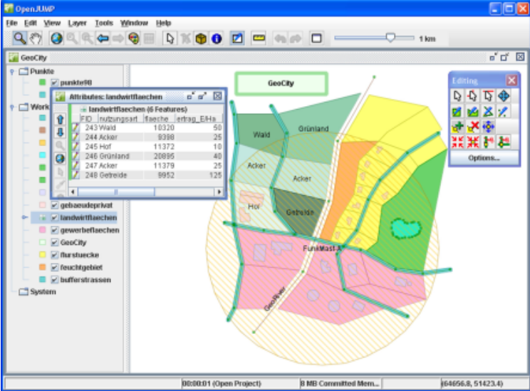
As a comprehensive GIS solution, OpenJUMP allows you to create, edit, and manage geographic data through an intuitive interface. Work with shapefiles and GML formats while organizing your data into layered projects. The software supports detailed geometry editing and attribute data modification, making it ideal for GIS professionals and enthusiasts needing reliable spatial data management tools.
Screenshots
Click to view full size