
GeoNetwork
Share and find geospatial data easily
Description
GeoNetwork simplifies geospatial data sharing and discovery as an open-source solution. Tailored for entities like governments, research groups, and environmental agencies, it streamlines the publication and management of metadata for maps, remote sensing, and GIS data. Users can efficiently search and access standardized information, enhancing data usability. This tool promotes transparency and cooperation, ensuring that valuable geospatial resources are readily available for projects and analyses, ultimately driving efficiency in data-driven initiatives.
Screenshots
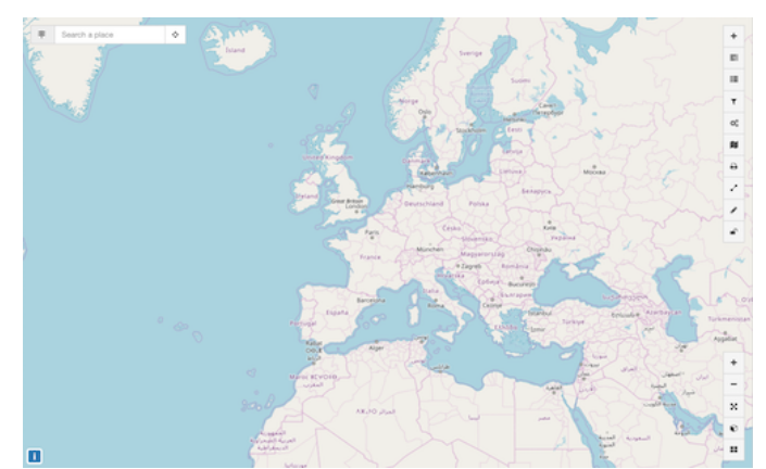
Click to view full size