TatukGIS Viewer
Renders vector and raster GIS data
Description
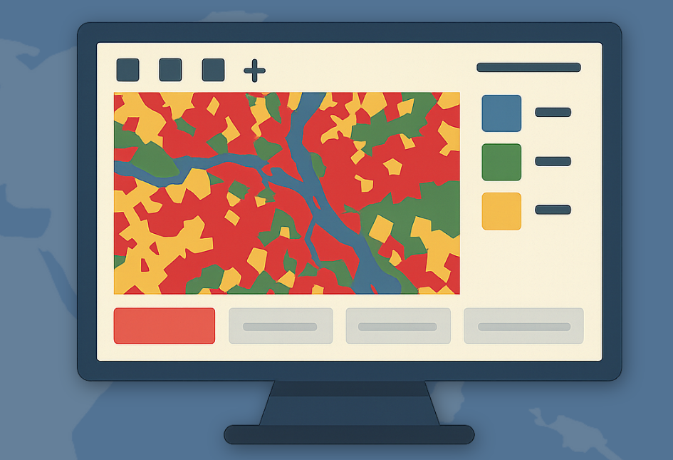
TatukGIS Viewer is a powerful GIS application that excels at rendering a wide array of geospatial data types, including vectors, images, grids, and database layers. Supporting over 75 different formats, it handles most raster images and GIS/CAD files seamlessly. The viewer is also compatible with professional projects from leading software like ArcView, MapInfo, and ArcExplorer, offering robust visualization tools for inspecting and analyzing spatial information efficiently. Its user-friendly interface ensures that both novice and expert users can navigate and view complex datasets with ease.
Screenshots

Click to view full size
