
GeoServer
Create detailed maps from geospatial information
Description
GeoServer empowers users to transform raw geospatial data into rich, detailed maps. This server solution is tailored for mapping experts and analysts, offering powerful rendering capabilities to produce high-quality visualizations. It runs seamlessly on Mac and Linux platforms, ensuring flexibility in deployment. By supporting open standards like WMS and WFS, GeoServer facilitates easy data sharing and collaboration, helping teams make informed decisions based on accurate spatial representations for projects ranging from logistics to resource management.
Screenshots
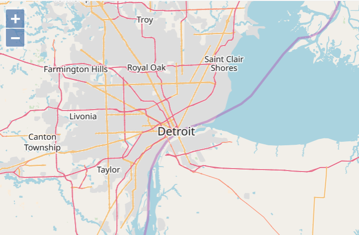
Click to view full size