
Panoply
Plot raster images from scientific datasets
Description
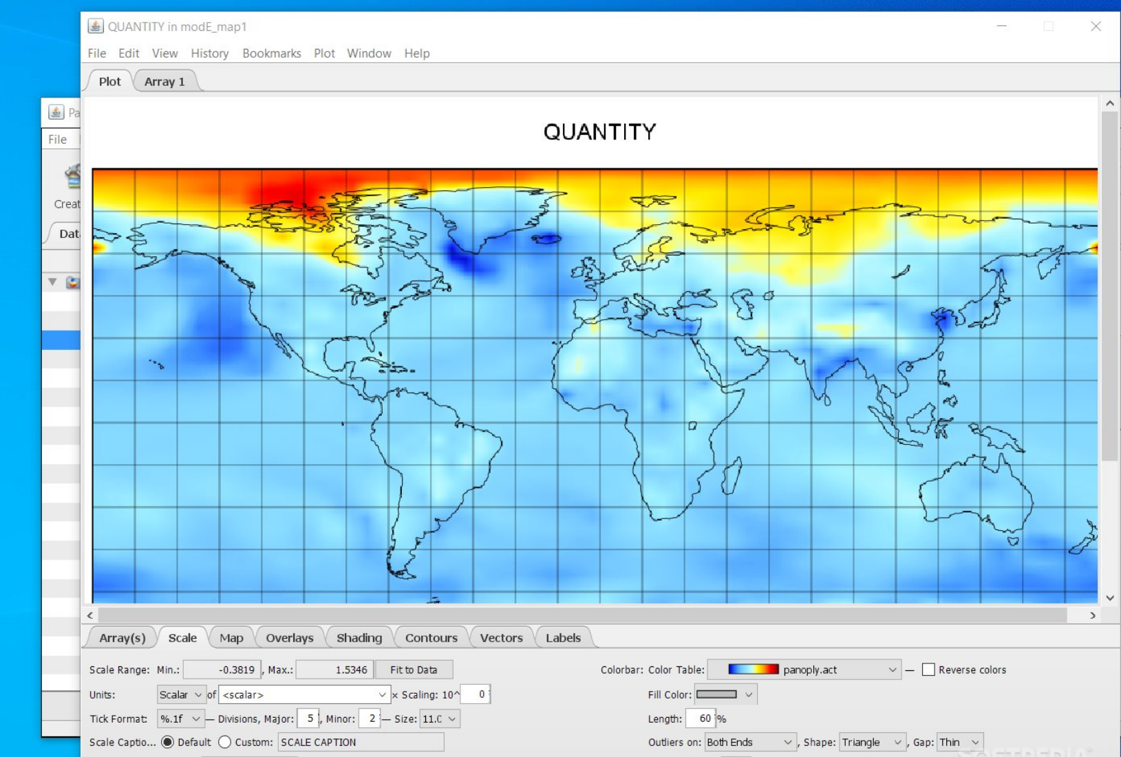
Panoply lets you plot raster images using geo-gridded data from sources like netCDF, HDF, or GRIB files. Developed by NASA, this free tool simplifies the visualization of multidimensional arrays, helping users explore spatial and temporal data with ease. Whether you're working on atmospheric research, oceanography, or satellite imagery analysis, Panoply provides customizable plotting options to create clear, informative graphics for presentations, reports, or further investigation.
Screenshots
Click to view full size