
GeoRefImg
Position and scale raster images accurately
Description
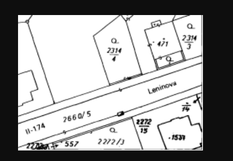
Achieve perfect alignment in your CAD drawings with GeoRefImg. This utility is designed for georeferencing various raster image types directly inside standard AutoCAD. You can set exact real-world coordinates, adjust the scale, and define the orientation of images such as topographic maps or site plans. Its broad filetype compatibility ensures you can work with almost any image source. By embedding accurate geographical data into your raster overlays, GeoRefImg enhances the precision of technical drawings, supporting better decision-making in infrastructure and environmental design projects.
Screenshots
Click to view full size