
Java Graticule 3D
Cross-platform geodetic calculation software
Description
Designed for geospatial professionals, Java Graticule 3D delivers powerful geodetic estimation capabilities across Mac and Linux platforms. The software combines an intuitive interface with advanced features for accurate calculations, coordinate transformations, and network analysis. Its 3D earth visualization and map rendering tools provide exceptional geographic data representation, making complex spatial relationships easily understandable. Whether you're working on surveying projects, cartography, or spatial analysis, this tool streamlines your workflow while maintaining precision and reliability.
Screenshots
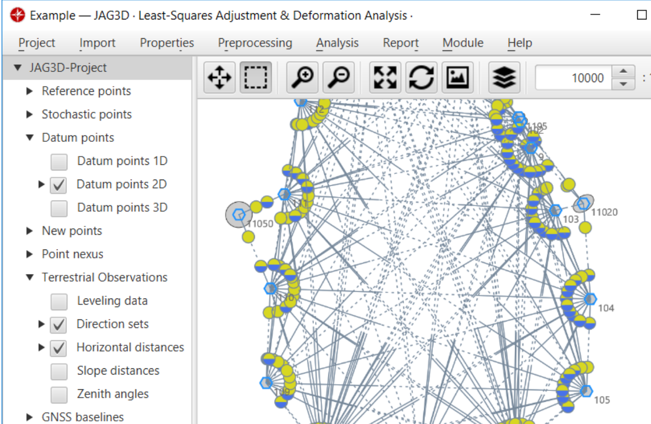
Click to view full size