SMASH
Map, survey, and collect GIS.
Description
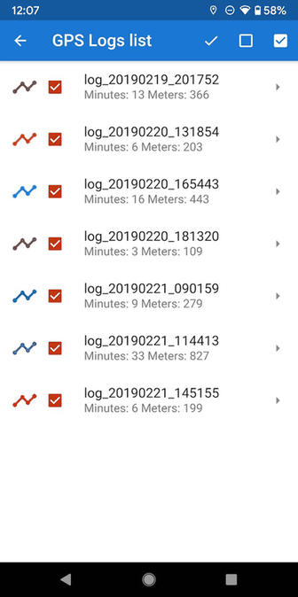
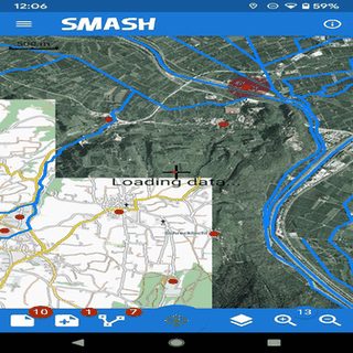
SMASH is a field mapping app for quick surveys and GIS data collection. It includes geo-referenced notes, photos, GPS tracking, and form-based surveys. Works offline or online, supports maps, and integrates with tools like gvSIG. Simple, efficient, and perfect for professionals on the go.
Screenshots
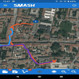
Click to view full size
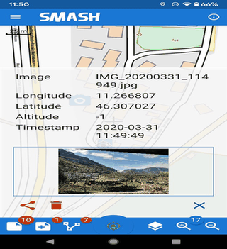
Click to view full size
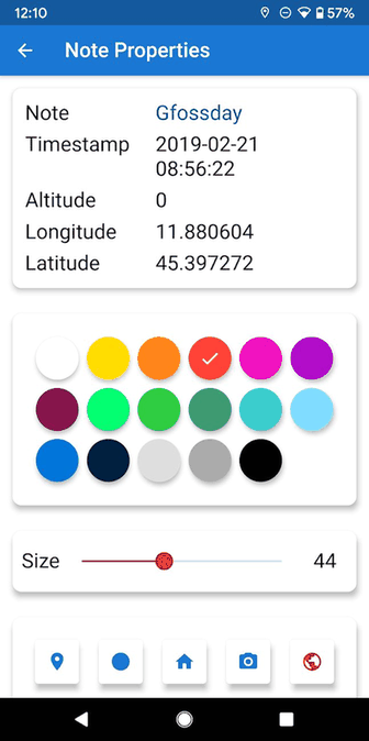
Click to view full size
Click to view full size
Click to view full size
Click to view full size